Weather 09 October 2015
![]() What Happened
What Happened
The main feature of this week’s synoptic progression is the absence of both the South Atlantic and the southern Indian high pressure cells. The cores of both remained many thousands of kilometres away from the continent and it was only towards the end of the week that the South Atlantic high featured again on the radar.
This absence and weakness of the two major engines of continental weather created space for a strong anti-cyclonic circulation to develop over the subcontinent. Coupled with daily increasing sunshine hours, the core of this circulation, for most of the week, oscillated between south-eastern Angola and the elbow in the Namibia Botswana border, more or less over the Rietfontein in Omaheke. Except for the southern Namib, the entire Namibia was covered by an atmosphere with a well-developed depth. The 500 mB isobar sat at an elevation of some 5800 metres above sea level, or around 18,000 feet. This lead to considerable advection from the north-west and the intrusion was visible over the northern and eastern sections as a broad layer of cloud that penetrated daily at this level.
The clouds look promising but at an elevation of some 18,000 feet, it still indicates high pressure control on the surface and in the lower levels. But during the day when solar irradiation had its effect, this relatively “thick” atmosphere made its presence felt by diabatic compression over a very large area covering the north-west (Kunene Region) Owamboland, the Kavango, Bushmanland, Omaheke, and further southward along the Botswana border. Only the central high ground and the escarpment were spared the very hot conditions with temperatures in the designated area almost reaching 40oC on Wednesday and Thursday.
By Friday the South Atlantic high pressure cell has moved into its customary position about 2000 km offshore from Oranjemund but the core was displaced towards the north, lying almost in line with Lüderitz. The strong anti-cyclonic circulation over the northern half continued hence temperatures remain elevated up to Friday.
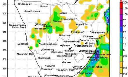
A strong cold front passed the Cape on Thursday and Friday with a moderate effect on the Karas Region. However, it was too far south of Agulhas to exert much influence over Namibia.
What’s Coming
As the weekend starts, higher pressure moves in from the south at the surface level. This brings some relief in temperatures over the southern half but daytime temperatures will still remain in the lower thirties. Temperatures over the interior (central and north) will not be as hot as this week, but it will still be hot.
Another strong cold front approaches the Cape by Monday but this one, too, is relatively far south. It displaces the low pressure conditions over the interior meaning the very hot conditions will shift to the Zambezi and the northern half of Botswana.
The high pressure intrusion from the south has an impact only in the lower levels up to around 15,000 feet. In the mid levels, another weak trough develops, very similar to this week, with much advection of moisture between 15,000 and 30,000 feet. Moisture in the lower level, and above 30,000 feet remain depleted. Although mid-level cloud will appear almost daily, the prospects for rain remain limited with drops at most where convection manages to exceed 30,000 feet.
The feature to watch out for, is the cloud tops. If the cloud cover is flat, rain will not follow. If the clouds develop into proper cumulo-nimbus structures with tops reaching 45,000 feet, local rain can be expected.