10 January 2014
![]() What Happened?
What Happened?
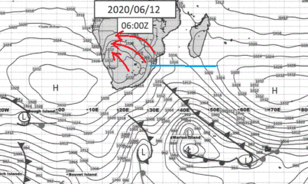
The main feature on all synoptic charts for southern Africa this week was two low pressure systems, one on each side of the continent.
The first developed offshore over the weekend between Saldanha Bay and Port Nolloth, moving slightly closer to Oranjemund as the system progressed. This introduced unseasonally cold weather over the interior of Namibia, with its chilling effect felt as far north as Otjiwarongo. Even the northern regions experienced a marked drop in night temperatures. This cyclonic circulation lingered for most of the week, with a chill in the morning air up to Thursday morning.
This system did however advected substantial amounts of surface moisture over the far South leading to widespread but light rain from the coastal plain all across the south to as far east as Noordoewer and Keetmanshoop. The rainfall over this vast area was experienced intermittently from Sunday through to Thursday.
The second low pressure system developed in the Mozambican channel heavily impacting precipitation across Madagascar. The direct local impact was limited but, coupled with the low pressure area off the west coast, it created a powerful trough from north to south across the centre line of southern Africa, sucking all moisture away from Namibia and southern Angola, dumping it over the interior of South Africa. North of this system precipitation was enhanced as witnessed by the almost continuous rains over the eastern half of Zimbabwe.
Meanwhile, the typical Atlantic high pressure ridge had to wait its turn as the first low pressure system drifted to the east, and the second dissipated as it moved to the south. By Thursday, both systems were largely gone and replaced by the high pressure ridge as it made land fall on the west coast, and gradually extended its grip over the interior of the southern African subcontinent.
Rainfall was meagre, mostly absent in the north and the north-east, with a surprising wide spread of light falls across the Karas Region.
Rainfall recorded for the week in mm:
Katima Mulilo 4.7, Mpacha 0.6, Bagani 0.9, Rundu 12.6, Oshikango 0.2, Gobabis 0.2, Rehoboth 2.9, Mariental 1, Aranos 0.2, Kalkrand district 60, Keetmanshoop 0.2, Karasburg 0.1, Aus 9.9, Noordoewer 2.8, and Lüderitz 2.2.
(Rainfall data provided by the Namibia Meteorological Service)
What’s Coming?
Since the publication of the previous weather report on 20 December, rainfall conditions have deteriorated spectacularly. The high pressure system from the Atlantic Ocean exerts its full power over this weekend, leading to clear sunny skies for most of southern Africa excepting the eastern littoral.
As this system ridges across the subcontinent, it displaces the effect of the low pressure over the interior that is usually associated with heat. Only from Monday onwards, does the high pressure core shifts enough to the east to resume the anti-cyclonic flow at the surface over northern Mozambique, Zambia and Angola to advect Congo air to the northern half of Namibia. Rainfall prospects pick up from next week Wednesday as the wind backs to north and then north-west but forecasts indicate only limited ability for good thundery weather. These conditions persists almost until the end of January and at this point, it seems total rainfall for January, will largely disappoint.