


Weather Overview and short-term outlook to Wednesday 04 March 2020
Visual: Accumulated rainfall from 17 to 26 February 2020
Source: Climate Prediction Centre in the National Oceanic and Atmospheric Administration of the US Government.
www.cpc.ncep.noaa.gov/products/international/africa_rfe/africa_rfe_10day_af_obs.gif
Recent Developments
This week’s visual provides a snap shot of all the rain that fell over the 10-day period from the 17th to this week Wednesday.
For the past two weeks, local rainfall conditions were very positive. As explained in the previous overview, the mechanism that drove the rainfall consisted of specific developments at different levels of the atmosphere. It is not often that we experience this type of convergence.
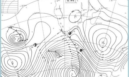
At surface level, a persistent low pressure system in southern Angola offset by higher pressures in South Africa, created a very strong conveyor of moisture from south-eastern Angola and Western Zambia.
This was amplified by the signature mid-level trough that ran from southern Angola through Namibia into Botswana. The most exceptional feature was that this trough was replicated in the upper layers, creating a deep low pressure system that was very active from about 12,000 feet all the way up to about 40,000 feet.
The interaction between these layer is best understood if one breaks down the atmosphere into layers. From the surface to roughly 15,000 feet, the airflow was predominantly north-easterly. This brought in low-level tropical moisture. From about 15,000 to 30,000 feet, the lower part of the Angola Namibia trough was active, and from 30,000 feet and above, at the so-called jetstream level, the airflow was also generally from north to south, although it must be remembered that at these levels in the stratosphere, conditions are very volatile and shift considerably over short periods.
For the duration of this week, the South Atlantic high pressure cell followed its customary migration around the Cape of Good Hope, in effect presenting a buffer to the north-south airflow which ensured that the active rain-bearing trough stayed over Namibia for longer.
On the Radar.
The overall picture remains relatively stable for the duration of the weekend. All the active elements continue their presence in Namibian airspace, and the advection mechanism (at the various levels) also continues to bring in tropical air.
Once the migrating South Atlantic high has traversed the ocean south of the continent, it will start having a northerly impact up the Mozambican channel. This should lead to some ridging over the eastern part of the sub-continent, mostly northern South Africa, Zimbabwe and eastern Botswana.
Thus, from Monday onwards, while expectations are not as positive as they were for this week, the ridging in the east pushes the low pressure system to the west, improving rainfall conditions over the Kunene, the central Namib, the southern Namib, and inland over the western halves of both the Hardap and the Karas regions.
There is still very much potential in the current scenario, and as is typical with Namibian weather, despite a diminishing outlook, it can still rain unexpectedly hard over wide areas. It is after all the main rain season, so as long as there are no or little obvious impediments, rain can occur either widespread or sporadic.


