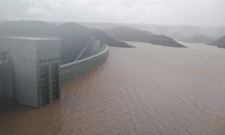
High resolution satellite imagery used by the statistics agency at a fraction of the cost of a conventional aerial survey
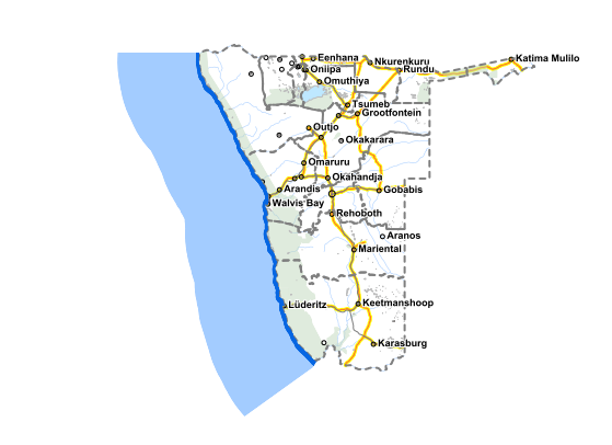
What used to be the domain of the Surveyor General, has now effectively been taken over by the Namibia Statistics Agency with the acquisition of a satellite data licence that gives it access to high resolution images for the entire country.
Acquiring satellite images has boosted the efficiency of the agency’s National Spatial Data Infrastructure, a digital enabler it has been building since 2005.
Unveiling the new source of satellite images earlier this week, Statistician General Alex Shimuafeni said the infrastructure provides for a digital geography of the country alongside national statistics for effective evidence-based development planning and policy design.
Access to satellite images and data is very expensive, more so when the images are of a particular resolution. For Namibia, a full high resolution survey will cost between N$75 million and N$100 million.
Shimuafeni stated that the prohibitive cost of an updated aerial survey prompted the agency to consider a subscription for a limited period but with unlimited access to the data base. This only cost N$3 million.
The need for updated imagery for planning purposes is in part due to the outdated data sets most ministries still work on. The last fairly complete aerial coverage is ten years old. This was the survey done in 2008 and 2009 in preparation for the 2011 population and housing census.
The cost of subscription was covered collectively by UNFPA, the Ministry of Mines and Energy, the Ministry of Urban and Rural Development, and the agency itself.
The Namibia Statistics Agency said it subscribed to a one-year government-wide licence. This licence is valid from the beginning of this month and will expire on 30 April 2020. “Because of the need to continuously update fundamental planning data sets in the National Spatial Data Infrastructure, for effective monitoring and evaluation of government projects and service delivery, the Committee for Spatial Data ideally requested the agency to look at ways for the subscription to continue over the NDP period until 2022,” Shimuafeni said.
This, however, requires another US$400,000 or about six million Namibia Dollar of which the agency has collected N$4 million so far but leaving a N$2 million shortfall.
“I would hence like to request other institutions to come on board and make their pledges so that the country can extend the license for two years (2020 – 2022). The license package is a compilation of all images collected by DigitalGlobe for different clients over their Areas of Interest. These clients pay for these collections and thereafter these images will be ingested in a global base map to be accessed by subscribing users. During the one-year subscription period, DigitalGlobe will have captured at least 70% of Namibia, with more frequent images in urban areas than rural areas,” Shimuafeni explained.
He listed a large number of relevant applications used by many government ministries and agencies, which to date have operated in data silos as a result of the lack of access to a single set of comprehensive high resolution satellite imagery.


