Understanding Weather – not predicting – 27 June 2014
![]() What Happened?
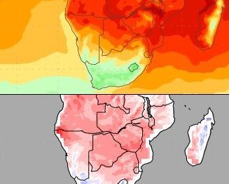
What Happened?
The presence of a weak lower pressure area over the western half at midweek, both the beginning and the end of the week were dominated by high pressure cells. The real, intense low pressure cells remained relatively far offshore, south of the continent, and it was only by Thursday that some low pressure effects were seen further north as far as the Orange River Valley. But the airflow over the interior was mostly north to north-west, indicating a lower pressure area, but too dispersed to be called a trough.
Low pressure areas are by definition composed of air in motion. This motion can be lateral, i.e. surface winds or alto-level winds, or it can be vertical, i.e. rising air. Usually, in any so-called col, the technospeak for a low pressure area between two high pressure cells, both planes of motion are employed and the observable conditions will show directional air movement, as well as some rising air, depending on temperature differentials and the intensity of the lateral movement. These dynamic three-dimensional aspects of low pressure were displayed on Wednesday and Thursday when we had considerable air in motion, with sufficient vertical velocity to lead to cloud formation. These conditions were manifest over much of the country, east of the convergence line, from Kunene in the north to the Kalahari in the south-east.
But the largest part of the week’s weather events belonged to the dominant (typical winter style) high pressure cells. Just when we felt some respite from the cold, windy conditions, the Atlantic high pressure cell made landfall somewhere during Wednesday night with colder conditions during Thursday and Friday. Again, the turn in weather was marked by airflow switching around from north to south-west, the hallmark of the arrival of cold air.
A weak cold front, further north than usual, preceded the stronger core of the high pressure cell, leading to wet, foggy conditions at the central coast, with only a mild southwester blowing. This was in stark contrast to the very strong north winds experienced early in the week. The very broad band of lower pressure over the interior read about 1016mB during the day, going to about 1018mB at night, indicating that it was rather subdued. Only relative to the high pressure cell over the eastern subcontinent, can it be described as an area of lower pressure. This weakness was equally displayed in the cold front that crossed Namibia from the west.
Generally a mild week without any excessive temperature swings. Only the windy conditions in the early part of the week showed the transition of one high pressure cell to the next.
What’s Coming?
The next South Atlantic high pressure cell has just arrived by the end of the week. It leads to a colder weekend, but again, it splits the overall Namibian weather picture into two halves, upper and lower, or northern and southern. Warm in the north, very cold in the south. The high pressure core is neither very strong nor very weak, reading around 1028mB. But it is noteworthy that the core lies north of the 40o S latitude indicating that it will grow less intense as it crosses the subcontinent. High pressure cells form over cold water, and the moment they cross land, upward motion due to the topography, as well as solar heat, raises their energy, making them less intense.
But high pressure cells are still indicative of cold, dense, stable air, so the weekend will be colder, especially south of Mariental, but by early next week, the effect will dissipate. The following low pressure area, also is neither weak nor strong, allowing some more pronounced airflow from the north. Early next week should again bring mild conditions with day temperatures going as high as 28o C in the Kavango. Again fresh northerly winds are indicated for the coastline on Monday and Tuesday shifting to the escarpment by midweek.