Understanding Weather – not predicting – 24 May 2012
What happened?
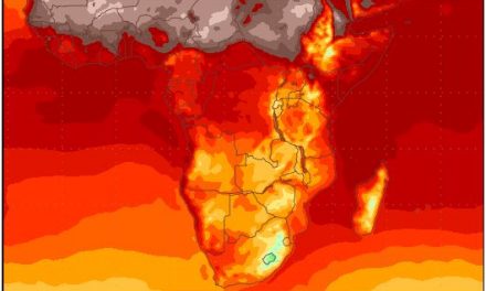
Even at the best of times, the mix between the end of autumn and the full exposure to winter brings out clashes between the dying vestiges of a summer pattern and the advance of the winter vortices. While for the past week, the world’s weather took a breather from the extremes of the recent past, winter came closer a notch or two as colder air penetrated much of the country for at least a night.
The moist advection ahead of the cold front brought clouds but little else. The vortex core lay too distant in the southern ocean to create sufficient uplift to turn cloud into rain.
Nevertheless, there is potential for small amounts of rain in the far South close to the Orange River.
With a persistent northerly air flow, the polar front is limit in its ability to dominate the South at surface level which may just provide the lift required to turn moisture into precipitation.
The cold front has the ability for a cold ridge to drive the front fast enough to see either a wavering of its northern extent or allow a new vortex to develop on its northern side: another slant on the undercutting potential. This puts the prospect of cut-off low activity closer to our southern doorstep which can draw moisture sligthly further south into the vortex area with definite rainy potential.
The last few days witnessed the passing of two cold fronts south of the Cape but activity was limited across the south by the rapidity of the eastward movement.
As the high pressure system behind the cold front’s low pressure core, reached the southern limits of the Indian Ocean, the strong northerly flow from the polar region, is forced back over the continent, warming up in the process, but bringing us the cold east wind in the early mornings.
On our northern coastline, a low pressure trough extends from the Kunene mouth to about Walvis Bay. This caused dense fog and even even some light rain in Swakopmund.
The airflow from the east readily descends from the central plateau to the coastal plane, bringing into play the so-called adiabatic effect – as air descends, it compresses, releasing energy, raising the ambient temperature. We experience it as Oosweer.
The persistence of warmer conditions over the northern parts shows the limitation which the changed climate has placed upon the northward stretch of the band of colder air due to the more southerly track of the whole vortex system. But, as the system departs away to the east, the ability for the anticyclonic flow to extend across Mozambique and further inland to reach the Caprivi as a cooler input (at least) should not be ignored.
What’s coming
In the vicinity of Gough Island an intense cut-off vortex has formed and begins an eastward push while, on its southern side a new ridge intensifies, thrusting east, also. This double-barrelled synoptic system proceeds east enabling the vortex to create its own frontal pattern.
This system makes Cape landfall by Friday. Ahead of it moister air sweeps in and cloudy conditions penetrate the southwestern coastal areas, pushing somewhat further inland before being deflected away across the Karoo. There is a very limited prospect for rain in the South. Colder air invades the southern half, offering colder night temperatures across the weekend, but warmer conditions return next week.