24 October 2014
![]() What Happened?
What Happened?
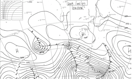
For the observer on the surface there is always one indisputable indicator of humidity in the upper air and that is the vapour trail left by high altitude airliners. A vapour trail was visible on Monday, but it was rather short. The length of a vapour trail is always a good indication of upper air humidity. By Tuesday, a trough of sorts have developed from Zambia to the southern Cape splitting the southern African sub-continent into a western half (Namibia) and eastern half (Mozambique. The north south orientation indicated a mild north to south airflow on the surface, but since Namibia lies west of this weak trough, the onslaught from the South Atlantic high pressure cell remained formidable. A weak remnant of the low pressure system south of Madagascar remained, contributing to limit the northward effect of the high pressure cell as it slipped past Cape Agulhas.
High pressure control in the upper air is still in place covering much of the eastern half of the continent from Kenya south up to the southern Cape. By Thursday, a strongly demarcated convergence line developed from Ruancana to Ariamsvlei. West of this line, high pressure conditions controlled the surface layer, while east of it lower pressure were the result of the weak trough extending through the middle of southern Africa. West of this convergence line, zero precipitation, east of this line, scattered and isolated showers of very limited intensity. The convergence line is where the South Atlantic high on the surface meets the anti-cyclonic circulation over the central part of the sub-continent. At this time of the season, the line becomes visible where the temperature is zero degrees Celsius, usually between 18,000 and 22,000 feet. Condensation of what little moisture is present creates a thin blanket of cloud in the so-called inversion layer. This does not lead to much in terms of precipitation but it does have the ability to surprise and develop into an isolated shower, especially late in the afternoon when solar radiation has had long enough to heat up the surface, and convection has developed. When vertical velocity reaches a certain threshold, and sufficient moisture is present, light rain is the result. Whether it reaches the ground is another matter altogether. This is the third week in a row that a prominent (visible) inversion layer has developed.
The driving mechanism has been the same in every instance. On the surface, colder, denser air pushed in from the south-west driven by the South Atlantic high pressure cell. It exerts an influence up to the convergence line. Over the central inland plateau of the sub-continent, an anticyclonic circulation develops leading to a lower pressure channel flowing from north to south, but severely restricted by the cyclonic low pressure system (weak vortex) south of Madagascar. In the upper air however, high pressure control over the eastern part of the continent considerably dilutes the effect of the trough in the middle layers. The interaction between these three distinct layers leads to local anabatic compression, on other words, pushing the whole sandwich down, releasing energy, creating very hot conditions in specific areas like the Owambo basin or the Sperrgebiet.
What’s Coming?
An exact repeat of last week. The weak trough in the middle layer is indicative of an inversion layer with a thin blanket of cloud. This is driven to the east, gathering strength as it goes, raining over eastern Zimbabwe, Limpopo, Mozambique and the eastern highveld in South Africa. Hot and clear conditions over the weekend for the entire country with very hot conditions over Kavango East and Zambezi. By Sunday afternoon the whole country is enveloped by a weak low pressure system leading to very hot conditions, and still even hotter in Kavango East and Zambezi. These conditions persist into next week but by Tuesday another convergence line becomes visible with scant possibility for light showers over the eastern half of Namibia. Foggy conditions develop by Monday through Wednesday along the northern half of the coast, but these will remain offshore, dissipating quickly as it approaches land. Airflow in the upper air remains zonal, from west to east, driven by the lower pressure south of Madagascar. Upper air conditions remain dry and not conducive to precipitation. Overall humidity remains very low, in the order of about 10%.