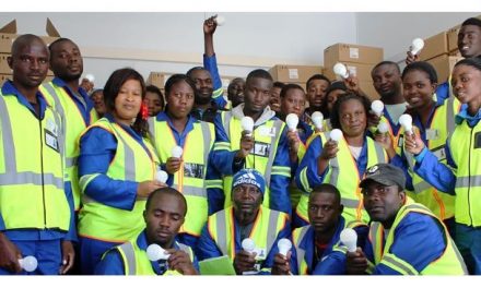
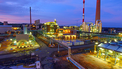
Husab builds own road network

The bridge to prosperity. The bridge linking the Husab mine to Arandis is the longest bridge to be built since Independence.
The road was built to reduce travel time for Swakop Uranium’s employees from the nearby towns of Arandis, Swakopmund and Walvis Bay. Until the road was opened for traffic in May, a temporary road off the C28 and northwards along the Welwitschia Drive to the Husab site was used.
The temporary road has been upgraded and will remain open as an emergency access road for abnormally large deliveries to the Husab site, or should an incident on the permanent road block the traffic flow.
By using the new road, it takes about 30 minutes to travel from Arandis to the Husab site, about an hour from Swakopmund and about 90 minutes from Walvis Bay.
According to Koos Calitz, Swakop Uranium’s Project Engineer, Mechanical, an engineering study that was conducted before the construction of the Husab Project, proposed road access from the B2 for general access and transport of employees.
The study further suggested rail access from Walvis Bay across the Swakop River for the transportation of bulk materials such as diesel, consumables and reagents to the mine.
“Since the rail link from Walvis Bay was going to cost a whopping N$1,2-billion, we had to find a more economical solution” he said.
“We knew that a narrow gauge railway line had been operational in the area from 1899 to 1910, so we investigated a combined road and rail link from the B2 road.
This, we thought, would save on construction costs as well as minimise the footprint of the required infrastructure, with associated environmental benefits.”
The study showed that, while it would be possible to construct a new railway line, it would not be economical because of the steep gradients leading to the Khan River.
Thus the decision was made to abandon railway access and only provide a proper tar road to connect Husab with the national road network.
Tasked to find the most suitable route for the access road to the Husab site, Calitz explored the rugged terrain on his computer using Google Earth.
He then got into his 4×4 and drove an alternative route until he could go no further.
“Then I got onto my motorbike and rode through the seemingly inaccessible places, taking readings on my GPS until I believed I had the shortest route available that would have minimal impact on the sensitive surroundings” he said.
Calitz then eliminated some of the potential routes which were too narrow. “Such narrow passages would have necessitated too much blasting and subsequent engineering” he explained.
The road and bridge over the Khan River, the longest bridge built in Namibia since independence in 1990, posed certain environmental and historically significant challenges during their design and construction, especially since part of the road runs through the Namib Naukluft Park.
Since the area is environmentally sensitive with desert flora and fauna, the route had to be carefully selected and well-positioned to prevent significant impact on the environment.
Most of the route is within tributaries of the Khan River, with part of the route, about 3 km, within the Khan River itself.
All these considerations had to be accommodated during the selection and design of the route. In addition to Koos Calitz’s surveys, the project engineers walked many kilometres to arrive at the shortest route available and that would have the least impact on the sensitive surrounding. In addition, Lidar surveys (a detection system which works on the principle of radar, but uses light from a laser) with photo imagery were conducted over a large portion of the project area.
A number of trees had to be removed from the route, but only after a complete census was done and obtaining a permit from the Department of Forestry.