Understanding Weather – not predicting – 23 August 2013
What happened?
While Namibia remains squeezed between the warmth of the northern sub-tropics and swirling, pulsating activity associated with the stormy latitudes ranging from our southern boundary southward; in winter we keep a triple-tiered temperature range identifiable as a daily experience.
The northern third regularly records maximum temperatures comfortably into the 20oC range, though night-time cooling can drop readings to below 10oC. The central plateau teeters between pleasant daytime warmth (tempered by breezy to windy conditions) and nights often falling to zero.
The two southern regions are just that closer to the stormy southern belt hence much colder temperatures prevail. The daytime temperature is mostly in the mid teens while night-time often goes below zero.
One may ask “So what”, doesn’t this temperature range recur frequently elsewhere across similar latitudes? Yes, it may do, but our experiences are enhanced by our unique geographical features. With a lengthy cold water coast, a narrow coastal plain ascending to a considerably elevated escarpment which leads to a quite level plateau extending across the extent of the continental shield, we are already apart from other continents. The some 3000 to 4000 foot elevation of the escarpment, reduced only by two major river catchments along both northern and southern boundaries, limits our summertime maxima to the mid to upper 30oC for all but the Orange River valley and its immediate hinterland, while winter is moderated by the wind-flows, mixing air masses of varying temperatures. So-called orographic effects, hills and valleys, do provide wintry examples of excessive cooling due to radiation as one finds elsewhere while the lengthy coastal escarpment hosts an example of adiabatic warming (our oosweer), the latitudinal extent of which far exceeds the various other instances around the globe. The temperature range of the Namib Desert will see maximum temperatures well into the 30oC’s in winter, exceeding summertime expectations. Summertime is not always the hottest season!
Our upper air witnessed two examples of tropical advection in the higher levels: lengthy bands of Cirrus cloud emanating from equatorial latitudes closer to South America and melding with mid latitude flows south and east of the sub-continent. The occasion of these incursions is yet to be revealed.
So as winter visibly departs, our climatic trilogy persisted for yet another week,
What’s coming?
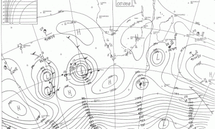
By this weekend the first active cold front evident to the south of the Cape collapses as its secondary off-spring intensifies but it too runs quickly eastward seeing its landward intrusion weaken as the cold thrust falters, approaching the Orange. Very slack air flows quickly switch direction through south to southeast, restoring a mainly easterly regime by the weekend. The thrusting anticyclone establishes its core off-shore expecting to hold sway until midweek.
A broad upper air trough approaches from the west but lacks surface identity, with scant chance to achieve more than a northwesterly flow above our south, where rain prospects remain at a minimum, yet again.