Understanding Weather – not predicting – 23 November 2012
What happened?
The gradual approach of the fringes of the tropical airmass has proceeded despite an unfavourable upper air pattern dominating the middle layers from 700hPa upward to above 400hPa, in measurable terms from 10000ft to above 25000. Yet there persisted a quite broad inflow of air moist enough to keep a reasonably turbulent, unstable, altocumulus cloud band and airflow present above the northern half of the country.
Personal observation noted the sedate nature of this drift. There was ample daytime heat to ensure active convection within the range of this upper air inflow, similarly the drift of these clouds was at seemingly a walking pace: anticyclonic cores and their adjacent wind patterns are identified by slack airflow. The clash of the favourable and the less favourable meant the resulting showers were of generally limited intensity. The most intense recorded fall was 53.8mm from the automatic weather station at Okaukuejo. Various measures from the Cuvelai delta passed the 10mm mark, but similar values were scant to non-existent elsewhere beneath the cloud band.
How did this match the broader picture and with what relevance to the local prospects?
The hemispheric charts have shown an upper air anticyclonic core stretching from our skies westward close to South America. These same charts have shown that this is the most dominant anticylonic core in this hemisphere. Yet surface patterns showed a different scene. This inconsistency has kept weather patterns around the hemisphere similarly divergent from their expected norms.
While various weather patterns developed, their resultant weather did not come to their anticipated fruition.
Close by, but in effect too remote to have any influence on our weather, the stormy synoptics of the southern ocean, still with strong north-south-north tendencies, saw two frontal patterns appear from the west and depart eastward with only average ridges pushing them along. There was sufficient moist advection though which brought moist surface air inland towards the daily heat-low across Botswana. This is, for November, a very average surface synoptic pattern; the resultant daily convection has seen some wilting of the dry upper air pattern, again typical for this time of year equally assisting the southward progress of the moist air belt.
What’s coming?
A major vortex and its trough approach by Friday evening, once again by-passing our skies, though the post frontal airflow sweeps away the upper cloud band from all but the far northern skies. The return to heat invites airflows to return from an easterly direction by Monday and with a tendency to draw on the moisture currently above Barotseland.
The outlines of an equatorial low pressure core can be identified across central Angola to the Copperbelt and Katanga (Congo) areas, while the areas to the east host a variable dry air patch round which, on the western side, a weak northerly flow tends to feed the adjacent low pressure core.
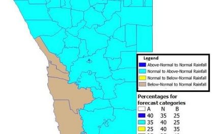
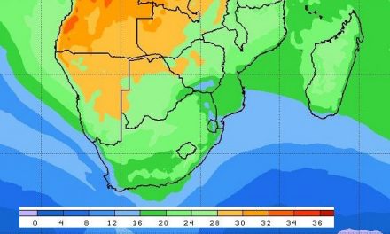
Rain prospects become more positive across the north and northeast from Monday onward, extending deeper into Namibia towards the end of the week. The upper air core tends to fracture somewhat by month end.