Understanding Weather – not predicting – 05 October 2012
What happened?
Weather’s ability to switch patterns with little warning is its prerogative, weather watchers have the equal prerogative of hourly reports and 3-hourly synopses to keep in touch. This week provided an example of this fickle behaviour.
In some ways not much changed, in others the subtlety was effective.
Synoptic patterns kept an upper air anticyclonic circulation dominant over the sub-continent. This kept a succession of troughs and fronts effectively southward of Namibia. Some cooler air was advected into the southern half. From Sunday into Monday for example, the upper air extensions drew some moisture towards these distant vortex cores, an Altocumulus cloud-band was the factual evidence. The return of daytime heat saw a low pressure core return to the central and northern parts by mid-week. This area also invited an advection from the east in the lower levels, beneath the controlling upper air anticyclonic core. Cloudiness above our northeast verified this input. All this matches what we have come to expect from the recent weekly to monthly patterns at least.
So where does the fickle behaviour come in?
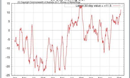
Weathers’ response to climate change has provided many headlines of reported extremes, yet on our weather front we have been little more than by-standers to the meteorological mayhem. But lately, conditions have returned to normal.
Anticyclonic high pressure cores are back in the 30 to 35oS latitude range and over the Atlantic there is a persistent upper-air trough. As this trough moves east, a surface vortex forms, driven by the surface level anticyclone.
This retreat has seen a more zonal (west to east rather than north to south) pattern emerge; yet, paradoxically, occasional shallow anticyclonic cores develop from ridges extending far to the south.
Now where does that leave us?
Right now we have a normal October pattern for much of the country. Heat by day, wind shifts across the south, and some cloud over the northeast, are typical for October.
The few showers typify upper dry air control and a limited inflow of surface moisture: also typical for October.
What’s coming?
A new upper trough approaches and crosses the Cape by weekend, departing with little northward extension. The surface level anticylonic push squeezes around and across the southern Cape. Only a weak core forms to the east, so limiting inland advection.
The next trough is almost a week ahead.
Constantly, the mid Atlantic upper trough persists, northwesterly flows persist above southern, occasionally central, Namibia up to midweek.
This northwest airflow sees an unusual prospect as clouds form, even reaching central Namibia but with limited rain prospects.
Warm to hot by day across Namibia for the week is the outlook.