Understanding Weather – not predicting – 28 September 2012
What happened?
With major weather patterns forming and interacting very close to our doorstep, prospects spreading to our airspace loom. Interruptions to the spring transition from winter to summer provides several examples of just what can happen. With the departure from that historical range not all the previous synoptics have been displaced, they can (and do) try to squeeze in to our newly-adapted weather stage.
Recent examples verify this juxta-positioning of weather’s chalk and cheese.
Cold front troughs across surface and upper air bringing in cold air, are the stamp of winter.
While this sequence continues unabated, the transition period sees an enhancement of the ability for the cold front trough to form a separate vortex cell somewhere along its more northward range. A cut-off low pressure core forms, bringing the prospect of increased rain across our southern regions from the winter rainfall areas of South Africa. But when there is a delay in any departure, these vortex cores can draw air from tropical sources. Such inflows have brought much heavier winter rainfall to areas not typically associated with winter rain.
In the South where small amounts of winter rain is essential for the ecology, the reverse happened. Rain clouds may have formed over the South several times this past winter but the core of activity brought rain to areas east of our borders.
record.
The succeeding anticyclone establishes itself east of the continent; it feeds a deep, and moist, airflow into the sub-continent but the next Atlantic high pressure cell prevents this system from settling over Namibia, pushing it instead within a matter of a day or two, over Botswana and South Africa’s Northern Cape province.
Tropical air advection so early in the warming season is not unknown, with anticyclonic cores strengthening away to the east. The prospect (as summer heat intensifies) is that this synopsis will form quite regularly. This has recurred for the past few years. Our current set of patterns looks hopeful.
This last week saw one such development come and go, only to be followed by a more intense pattern which arrived by Thursday. The presence of altocumulus cloud identifies this tropical air source in no uncertain fashion.
What’s coming?
Friday sees this synoptic pattern depart. Colder air briefly penetrates, but with mobility dominant, warming returns by Saturday, persisting deep into the new week.
While this weather outlook holds sway for central and southern Namibia, moist air builds up in the Zambezi valley while moist air advances across Angola. The resultant airflow brings cloud across the Kavango and Caprivi with showers forecast. This cloud band also departs, but can return as the westerly airflow increases from Monday onward.
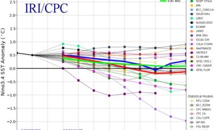
A distant circulation over the Atlantic that stretches all the way from the Amazon to the seas south of the African continent, shows a distinct La Nina-style flow. These extreme airflows bring warmer air much further south than the norm, setting the stage for cut-off vortices, which have the ability to bring cold air from the south much further north. These are then followed by a rapid turn-around, bringing moist air from the north that much further south.