Weather 04 November 2016
What Happened
The heatwave that started at the end of last week persisted through the weekend into the first half of this week. This lead to day temperatures in the upper 30s across the country with the north, the north-east, Babwatwa and the Zambezi, going to 40°C almost every day.
Towards the second half of the week, the heatwave dissipated somewhat over the central plateau but remained strong in the south, the east along the Botswana border, the Kavango and Owamboland including Etosha. The name heatwave is the popular label for excessive temperature on the surface. Its mechanics, however, are fairly complex and dynamic. The signature of a heatwave is that the 24-hour temperature spread is much reduced, so even the evenings remain hot and the nigts warm. There is little room for radiation during the night to cool the environment. The earliest indication of a departing or dissipating heatwave is cooler night temperatures. This happens when the 500mB level at around 18,000 feet resumes the vertical mobility it displays in the absence of a heatwave. During normal conditions, the 500mB level tends to rise during the day and descend during the night. Under heatwave conditions, this does not happen.
The second element of a heatwave is the thickness of the atmosphere. It only form in areas where the overall barometric pressure tends to be lower. There is a very delicate balance between the thickness of the atmosphere, and the amount of solar energy reaching the earth’s surface. A thick atmosphere may extend aloft to as high as 60,000 feet. This is a massive column of air above our heads and every cubic metre weighs just over 1.2 kg. Its natural vertical motion is downwards, leading to compression, leading to higher temperatures, especially during the afternoon. Pour sunshine into this mix and the direction of the vertical mobility is reversed. The sun heats the air, making it rise. These two opposing forces, when they are more or less in equilibrium, tend to lead to static condtions with neither upwards nor downward mobility. Then as the sun passes noon, the influx of energy slowly reduces, the air column compresses and voila, a heatwave.
This time of the season, the area in the sub-continent most prone to a heatwave is the very large territory spanning Namibia’s north-eastern quadrant, northern Botswana, western Zambia and southern Angola. Heatwaves are also detrimental to rainfall since they inhibit convection. So, while ample clouds were visible this week over much of the south-east, the Kalahari, the central Plateau, the north-eastern quadrant and over Owamboland, the actual precipitation on the ground was measured in fractions of millimetres. Heatwave conditions imply very stable air, while rainfall requires unstable air.
What’s Coming
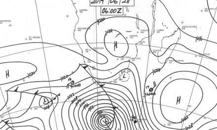
By Friday, the South Atlantic high pressure cell is close enough to land to have a meaningfull impact across the south-western quadrant. This will be seen over the weekend in cooler night temperatures across the Sperrgebiet, the Karas Region and the central Namib. The cooler effect may even be felt in Windhoek.
Meanwhile, the so-called heatlow continues to build in strength over the north-eastern quadrant, but there is much more vorticity in the upper air. This creates a well-demarcated convergence line splitting Namibia into two halves, south-west and north-east.
By Sunday, the enhanced vorticity from the north starts having an impact and a mild mid-level trough forms at around 13,000 feet, spreading from Angola southwards into Namibian airspace. By Sunday evening, the South Atlantic high has slipped past Cape Town, creating space in Namibia for a more powerful intrusion of moisture from the north. By Sunday night, the entire country with the exception of the coastal plain, sees lower pressures, a much lower cloudbase, and limited rainfall prospects. The mid-level trough, growing stronger, continues to develop into Monday and Tuesday. Much advection of moisture takes place at this level with improved expectation for rainfall from Wednesday onward. Next week is the first time this season that four leading outlooks unanimously expect wetter conditions over the central plateau and the north.


