Weather 14 October 2016
What Happened
During September, the Oceanic Nino Index (ONI), for the first time since March 2012, registered -0.5 (minus zero point five). This index maintained by the Climate Prediction Center in the National Oceanic and Atmospheric Administration (NOAA) is based on seven parametres and is one of the broadest views on the so-called El Nino Southern Oscillation (ENSO), the technical jargon for the natural oscillation between warming and cooling phases of the oceans and atmosphere. It has been running since 1950 so it is a fairly dependable index.
When the index is negative it indicates La Nina conditions although officially, a La Nina occurrence is only labelled once the deviation exceeds -0.5 and it has continued for six month.
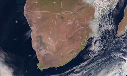
Locally, the intra-seasonal see-saw weather continues. The general synoptic pattern for the week clearly displayed the interplay between lower pressures from the north and higher pressures from the south. In the northern half, nights are mild and days are very hot while in the southern half, nights are cool, and the days warm to hot. Afternoons for the whole country are typically hot to very hot but this changes rapidly once the sun has set. Also, the whole country tended to be windy, from north to south, getting windier closer to the escarpment in the west.
By the middle of the week, the synoptic chart showed a balanced distribution of high pressure cells and low pressure systems in between. The southern Indian high sat south-east of Madagascar, the continental high covered most of South Africa and the South Atlantic high sat west of Cape Town. All three were more or less on the same latitude and all three had core readings of 1028 mB, decently cold and dense but not excessively so. This is a reliable indicator of the first tentative shift to a more established summer pattern. In Namibia airflow was mostly east to north-east. However, this time of the season, one must not watch the local weather. Instead, it is more rewarding to observe central and eastern Africa for events there now, play a large role in how the Namibian season develops later.The so-called Inter-Tropical Convergence Zone (ITCZ) is at this moment not well-defined. It can be discerned over West Africa but it is broken and scattered in East Africa. This is indicative of high pressure control in the upper levels. In Angola, the weakly-defined southern limit of the ITCZ is more or less in the middle of the country, some 1000 km away from the Angolan Namibian border. As the summer intensifies, this line will move south until it almost touches the border.
In East Africa the atmosphere is relatively “thin” meaning the 500 mB height is below 18,000 feet. Over the Indian Ocean, sea surface temperatures are slightly below average, but it is warming up rapidly as the austral summer progresses.
All the elements are in place for the start of the summer rainfall season but they are disjunct. Only once the high pressure cores moves southward, and the ITCZ moves further south also, replacing the fragmented atmosphere over East Africa, will conditions be positive.
What’s Coming
By the end of the week, the continental high has departed and a low pressure system covers Angola, Namibia Botswana and central South Africa. Saturday and Sunday will be less windy with hot to very hot conditions in the northern half, and warm to hot conditions in the south, – very much a continuation of this week’s conditions. From Sunday afternoon, the low pressure system covers the north east from about Eenhana, all the way east to Katima. It will be blisteringly hot in this area with daytime temperatures reaching or exceeding 40°C. Monday sees the approach of the next South Atlantic high but it is dispelled by summer heat and it slips around the southern limit of the continent. By Tuesday next week the high is at the southern entrance of the Mozambican Channel, with a low pressure system over most of Angola and Namibia. The will again cause hot to very hot conditions over the interior and very windy conditions over the southern Namib.