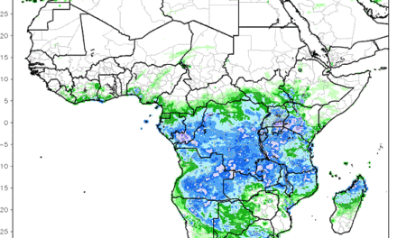
Weather 15 July 2016
What Happened
The windy conditions earlier in the week were a spillover from the previous weekend when the continental high pressure cell dominated the eastern subcontinent while a low pressure system moved south from Angola along the Namibian coastal plain. The marked pressure differential between Botswana and the west coast created windy conditions over the northern interior, strong winds over the northern Namib and mild Oosweer conditions over the central Namib.
Over the central interior light windy conditions appeared on and off, getting stronger the closer to the escarpment.
As the week progressed, these conditions shifted south and by Thursday, windy conditions were present over the southern Namib and the Karas region. For the rest of Namibia, once the airflow has backed from east to north, warmer, and even hot, condition returned to the whole interior from the Angolan border to the Orange River.
At the beginning of the week, a frontal system, driven by the South Atlantic high pressure cell caused the cold intrusion directly from the south. As this high shifted east, it engulfed most of South Africa, and later in the week, Botswana and the southern third of Angola as well. As it ridged back (westward), it kept night temperatures in Otjozondjupa, Omaheke, the Keetmanshoop district and the Karasburg district close to zero. However, no reports of frost were received indicating that if temperatures went below zero, it was only briefly, not long enough to form frost.
By the middle of the week, the continental high still sat over South Africa, continuing to keep night temperatures low, but in Namibia’s Zambezi and Kunene regions, the impact from the equatorial low could already be felt with afternoon temperatures getting very close to 30°C.
By Thursday, the continental high and the southern Indian high has coalesced into a single very large area dominated by higher pressure stretching all the way from southern Angola across the Namibian interior into Botswana, across most of South Africa and out over the Indian Ocean up to a point more or less 2000km south east of Madagascar. The South Atlantic high was some distance offshore, allowing the formation of relatively strong low pressure conditions along the Angolan, Namibian and Northern Cape coastline. This is what brought the windy conditions to the Namib which slowly extended from north to south eventually to cover the entire desert.
What’s Coming
Another frontal system approaches Cape Town and should arrive during Friday night. But its impact over Namibia is limited due to the continued strong airflow from the north. This frontal system migrates past Cape Agulhas during Saturday and Sunday with a high pressure extension over the eastern half of South Africa.
Again the familiar pattern emerges with high pressure conditions over the South African interior ridging back over Botswana and impacting Namibian weather from the east. But since this high is expected to be weaker than a week ago, the impact will be limited to brief cold periods during nighttime.
By Monday next week, the high has moved to a position south of Madagascar, helping to drive an anti-cyclonic circulation over the sub-continent. Again, as has been the case several times during this winter, as soon as the airflow reverts to north-east and later north, warm to hot conditions return, depending on latitude.
There is a remote chance that the north south airflow may bring in some clouds, but this view is not shared by all forecasts.


