Understanding Weather – Not Predicting 5 April 2012
What happened?
The week’s dry outlook was fulfilled, we had only the role of spectator while much of the world, let alone our hemisphere, chalked up more active, perhaps unusual, weather events.
Overall, the surface cores of the sub-tropical high pressure belt were rooted to the 40oS and environs. The north-south-north airflow in the lower layers, up to some 8000 feet or so, between the 850 and 700hPa levels, gave warm air impetus to deep vortex development in the south, while also providing powerful thrust to the succeeding cold front. Last weekend an exemplary vortex pattern crossed the Cape, very well-marked in the upper air, but without the ability to tap a southerly inflow with cloudiness at least across and into its northern circulation. Its passage did bring some moister, lower level air so providing some cloud from the Auas mountains eastward. But with dry air above, rain did not occur.
An anticyclonic core reached the south-west Indian ocean while a brief secondary formed over the Free State, in the lee of the Drakensberg, so disrupting the air flow into Namibia. All the while though, the northern regions lay close to the influence of the persistent moister air to our north with some clouds to match.
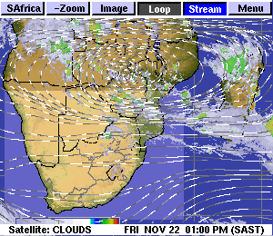
The Inter-Tropical Convergence Zone remained fairly well marked across the continent from Angola to Tanzania, extending around the globe to the Pacific on the opposite side.
As just about every comment is advising, a La Nina-style influence lingers on, controlling both wind-flows and resultant synoptic situations and it seems likely to persist well into the southern winter.
The just about world wide situation created by the arching back into the middle layers of the high and low pressure cores is providing a varying range of effects which tend to distort the expectations provided by the surface and adjacent lower level synoptics. Given these, this last week would have set the scene for activity over Namibia to the east of the persistent west coast trough.
What’s coming?
As the next vortex and trough pass this Friday so the next appears by Easter Day. Its southerly flow (marking its departure) is present until midweek, but once again, its northern stretch is limited to the Orange River latitude. while both lower level wind predictions remain more northerly as the lower level west coast trough persists. The mid-layers from some 600hPa and above remain stubbornly westerly. This is the arching back effect in strength! But the chance of some showers is offerred as the weekend trough moves south of the country. Dry conditions should take us through to mid-week.
Most of southern Africa remains in the grips of a high pressure system which inhibits rainfall, not only here, but also in Botswana, Zimbabwe, Zambia and even Tanzania. This system slowly migrates to the east. Meanwhile the lower pressure area over south western Angola is expected to slip further south, maybe even as far south as Walvis Bay before it crosses the interior and possibly link up with the low pressure area south of the Eastern Cape. This extraordinary pattern may still produce surprising results from around next week Wednesday onward.